Download
Bolivia Weatherr
1.6.9 April 7, 2026- 7.2
- 1
- 2
- 3
- 4
- 5

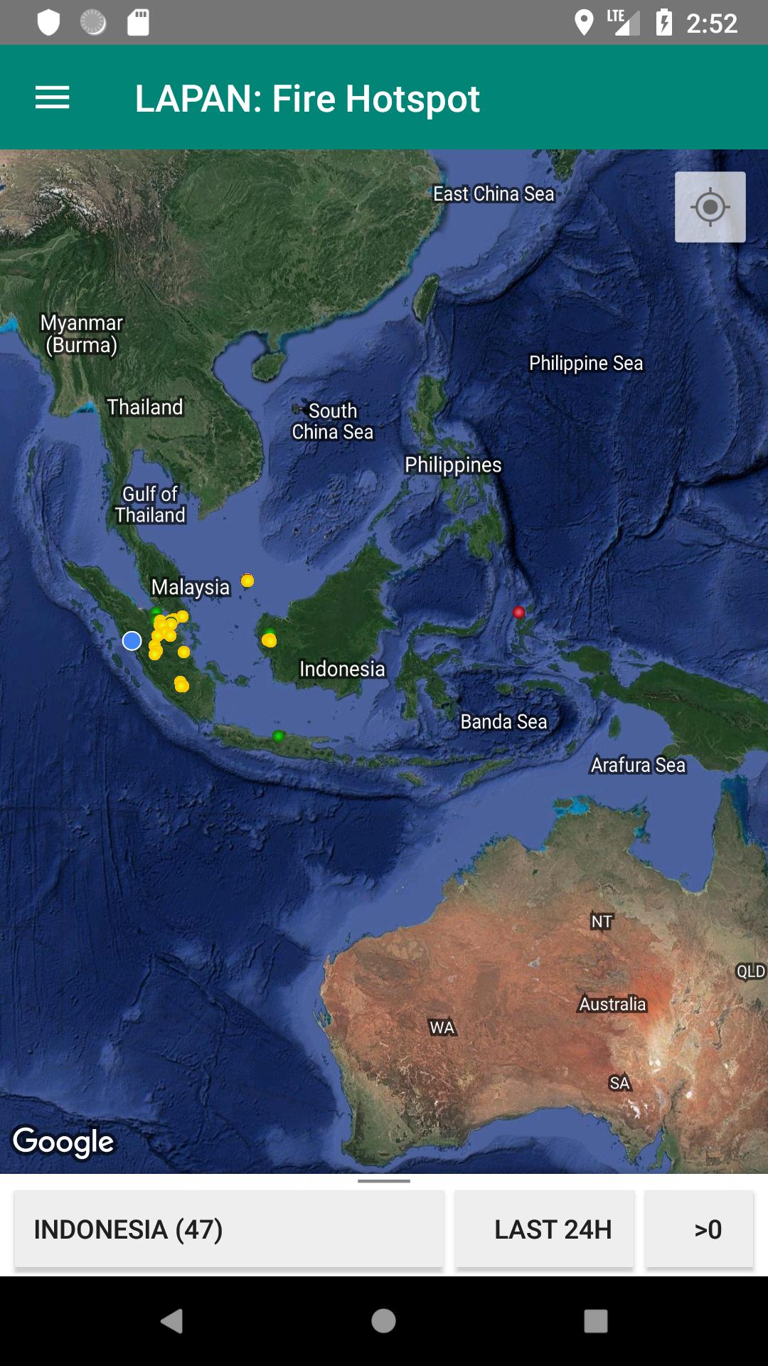
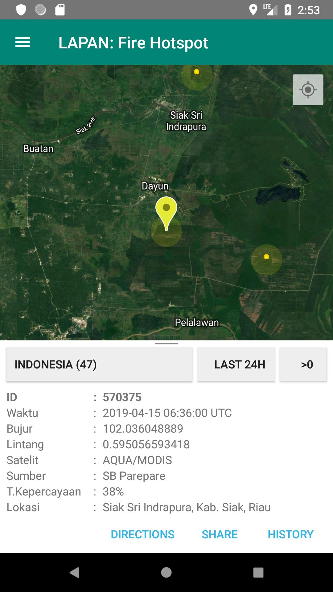
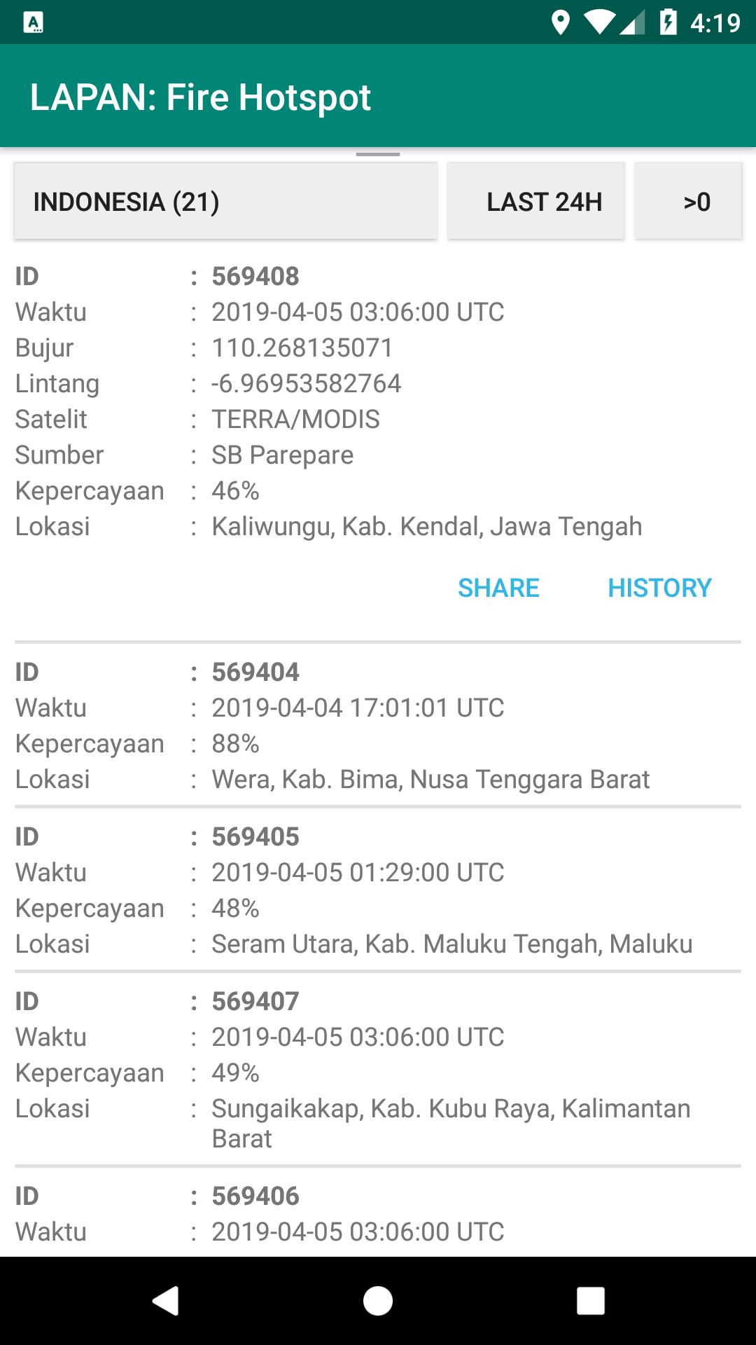
Real-time hotspot information for forest monitoring / land fire alerts in Indonesia
The hotspot monitoring application by the National Aeronautics and Space Agency (LAPAN) is a concrete manifestation of LAPAN's commitment in providing early warning and information on forest / land fires originating from remote sensing satellite data. Through this application, users can find out the coordinates of hotspots in the territory of Indonesia in near-realtime. The remote sensing satellites used for hotpsot monitoring came from satellites Aqua, Terra, SNPP, and NOAA20 which were received directly by the LAPAN Earth Station.
For more information, contact:
Center for Technology and Data
LAPAN Remote Sensing:
Call: +62218710786
Email: [email protected]