Download
Princess Girls Games for Kidsr
1.1 May 15, 2026- 7.3
- 1
- 2
- 3
- 4
- 5

Navigation in the area for Alpine Events
The application is updated from time to time with the most important events in the world of the Alpine troops. The ' Alpini Online ' portal, available at the link 'www.alpini-online.it' ', prepares the cards for all points of interest of the event, whether they are events or service points or entire thematic maps, and positions them in the area.
In this way the visitor can identify his position, by locating the device, ask for the path to the chosen destination and examine the site card in advance.
The application is updated a few days before the event, when all information is available.
The Alpini Online
In all cases, the portal, reserved for sites and events of the world of Alpini, publishes in advance those who will appear on Google Play and indicates the date of the actual availability.
In this way it is always possible to plan the visit in advance, and a few days before updating the device.
- The portal publishes the meeting the national groupings. Sections can propose their events of general interest.
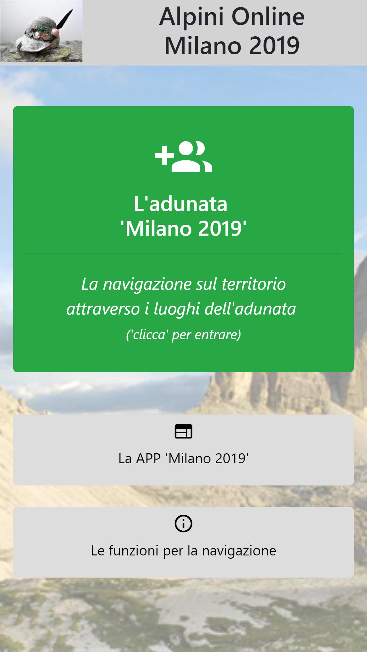
- The national meeting of Milan is published permanently on Google Play as "Milan 2019"
Functions
As seen, ' Alpini Online ' is specialized for navigation in the area.
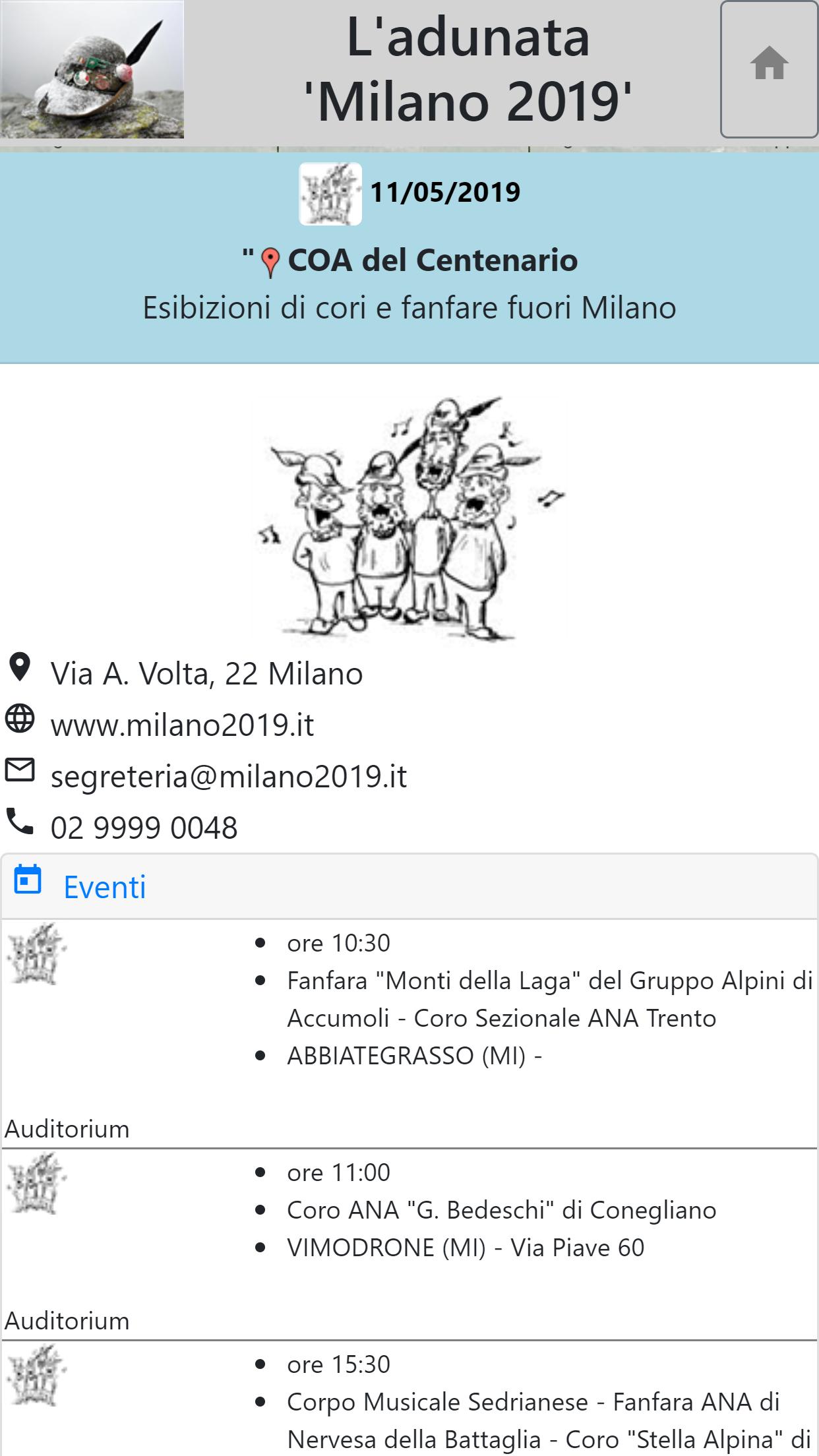
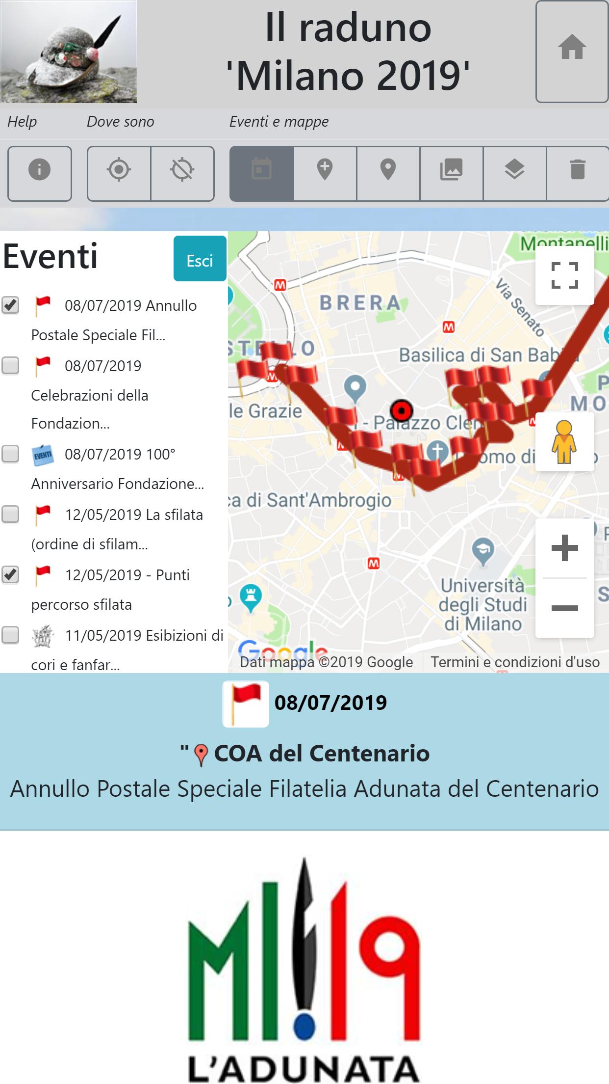
At the beginning the map is empty; Through the commands, the entities of specific interest are reported on the map, for homogeneous groups, which are represented as marker-segniposto. By clicking on the Marker, the information sheet opens with all the details.
The individual events, and/or the service points, and/or other maps of the area significant for the event can therefore be reported on the map, to estimate the time necessary to reach one or more points of interest, on foot or with other means, and obtain information on the destinations.
The request for a path or a thematic map reduces the map to optimize the consultation.
The main options, visible from the menu bar, are:
- position, or starting point of a path
A service map contains a yellow marker/placeholder, which must be positioned for the starting point of the various routes.
It can be updated through the geo location, or be moved manually in any position.
- Events and maps
The places of the events, the logistical points or those of the thematic maps connected are positioned and superimposed in the area through their markers. The 'clicks' on the Marker opens the relevant tab.
The individual buttons are:
> Events: celebrations, performances of the choirs, piles of piles and the parade located in the area, in order of date.
> Logistics and service points: medical assistance, information, toilets, catering, parking lots, tent and campers, etc.
> Sponsor: in the norm, small affiliated operators
> Reasons: routes, borders, areas and other graphic elements to be superimposed on the map
> Thematic maps, that is, entire maps (for example places of the Great War) connected with the event
> Removal for groups of the markers displayed
- Paths
A path starts from the predetermined position, geo located or selected, and reaches the destination point, that is, the last point 'clicked' on the map (in the norm it is the marker of a point of interest).
The buttons solve three types of routes, and remove the previous track:
> Car route
> Path with public transport
> Walking path
> Removal of the path
- buttons on the map, according to Google standards
> Map/satellite: passes from one representation to another
> Zoom: increases (+) or decreases (-) the resolution of the area
> Street View: by positioning the icon on a point on the map, the images of the place appear
> Full screen: the map occupies the entire surface of the screen. We return to the original dimension 'clicking' again on the iconcin.